Bacon's Map of Ireland, 1905
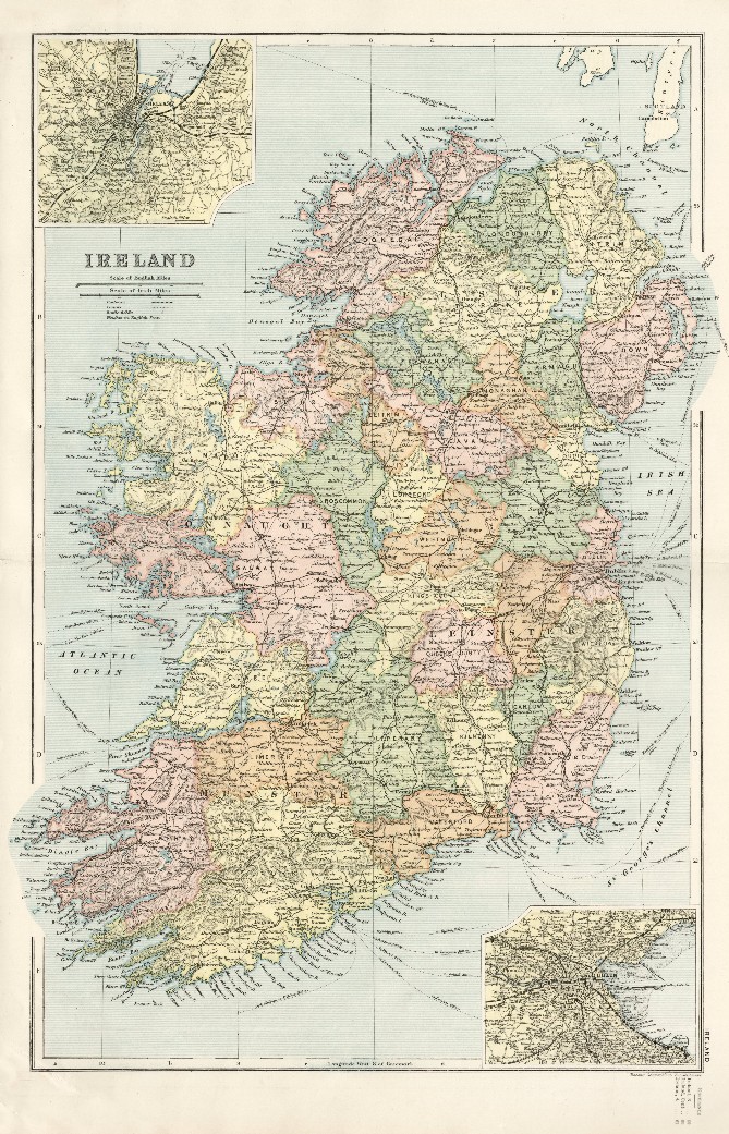
The map is in a 6.7 mb image file, Map_Ireland_1905.jpg, on this website. If you click on the link the file will open in a new browser window. You may also download the file by right-clicking on the above image then selecting the "Save Image As" option.
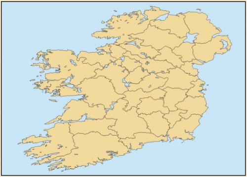
A set of shapefiles based on the above Bacon's map georeferenced to WGS 84. Click on the above link to download the shapefiles which are compressed into Bacon1905.zip (265 kb).
County Polygon Layer
Medium resolution polygon shapefile of publication quality that is a tracing of Bacon's map. Attributes are province and population in 1901. Note that county boundaries in 1905 are somewhat different than current boundaries for both Northern Ireland and the Republic of Ireland.
Other Layers
Polygons of county borough wards. The "county boroughs" were the cities of Belfast, Londonderry, Dublin, Limerick, Cork, and Waterford. Attributes are 1901 population, population by religious profession, and illiteracy percentage.
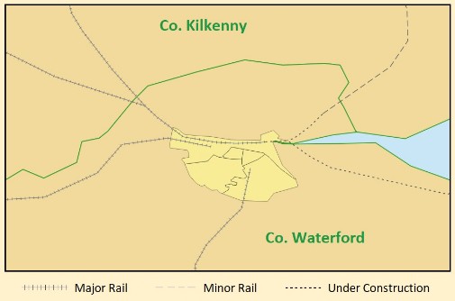
Line layer of railways. Coded by type (major, minor, building) with ownership attribute and company's share of the rail network.
Point layer for placenames: county, county borough, and islands.
Decorative background layer (sea) with a single polygon.
City of Waterford Area